


Destinations
Diving Indonesia’s Depths: An Underwater Odyssey in the Archipelago
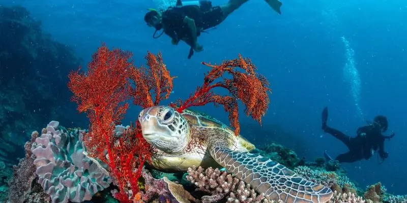
Indonesia, a sprawling archipelago of over 17,000 islands, is a paradise not only for those who love to explore its lush jungles and vibrant cultures but also for the adventurous souls who seek to discover the mesmerizing world beneath the…
Continue Reading